


Erleben Sie die Region der 4 Flüsse!
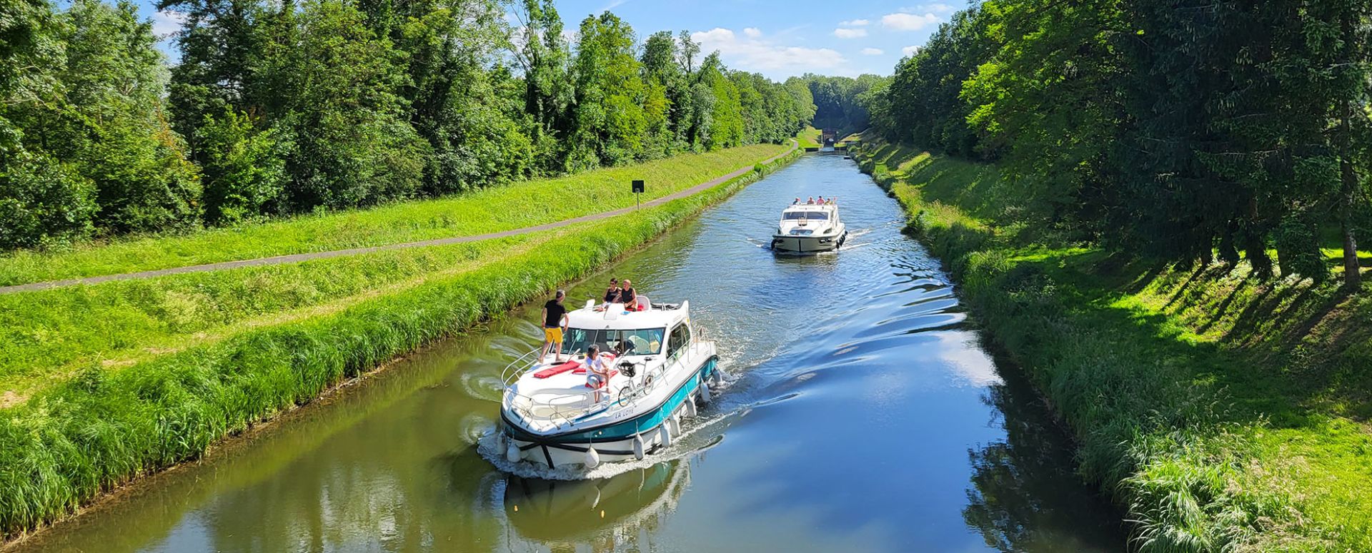
Zwischen der Saône und der Via Francigena, weniger als eine Stunde von Vesoul, Dijon und Besançon entfernt, erwartet Sie eine Region mit tausend Facetten.
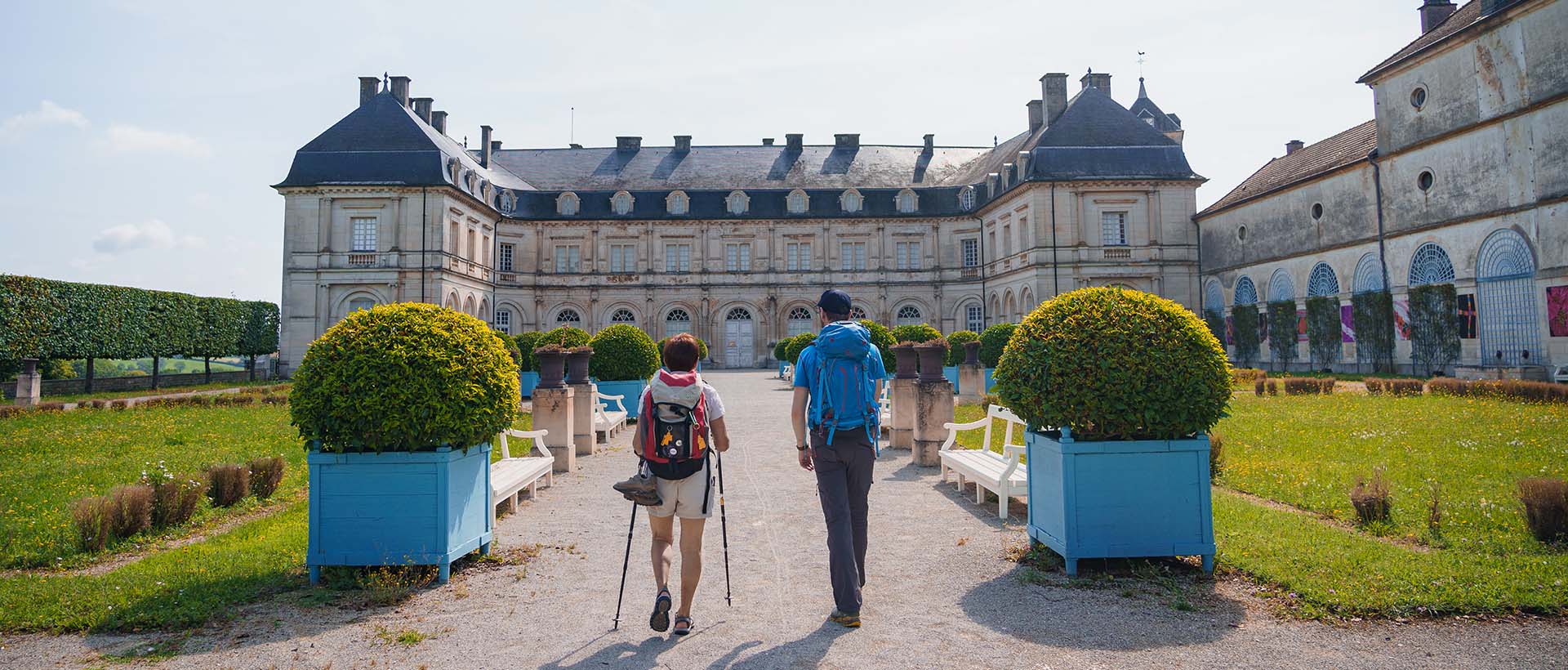
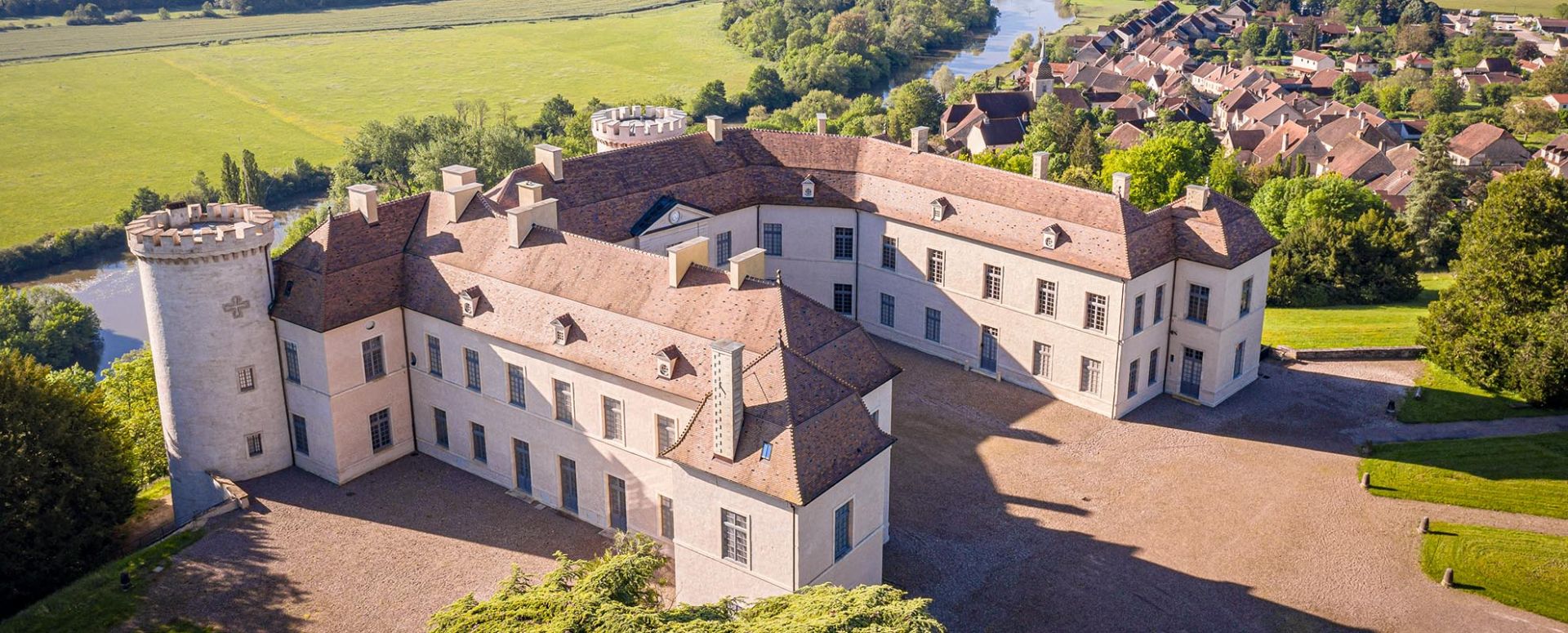
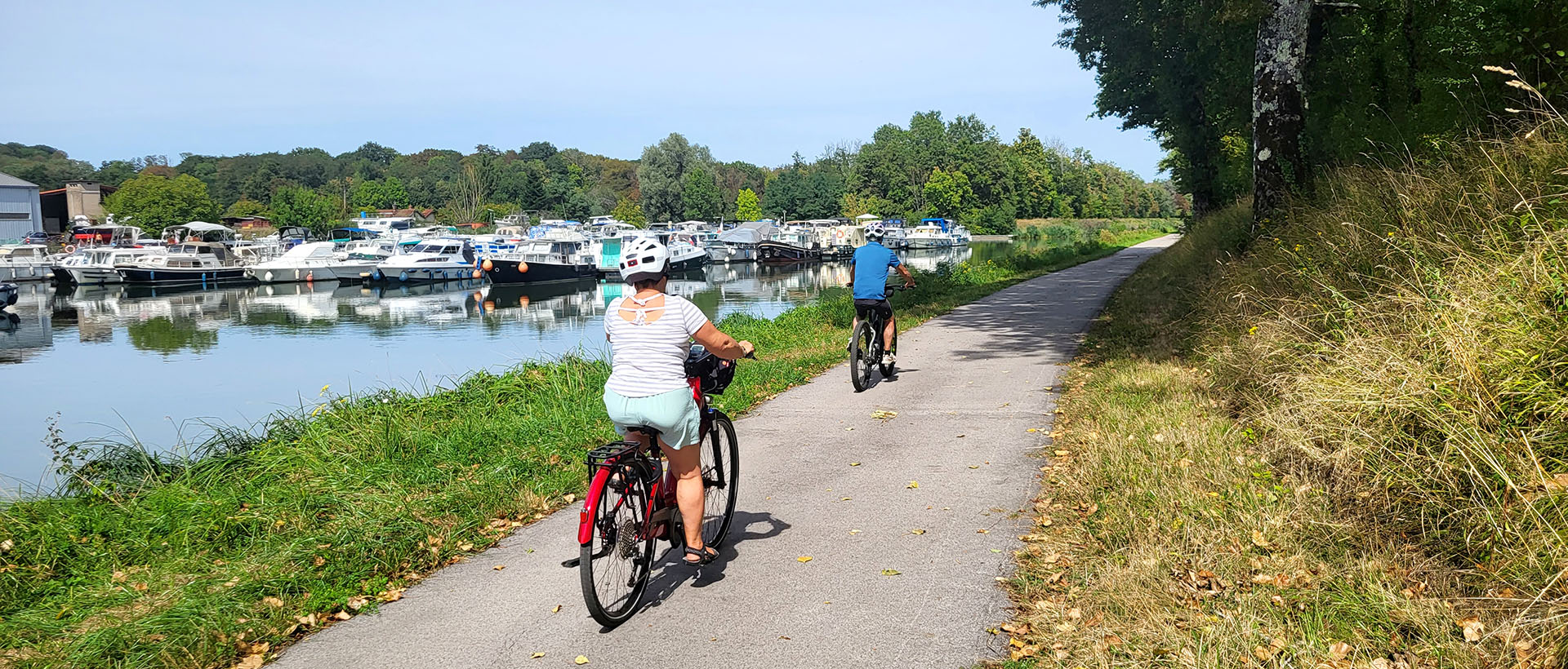
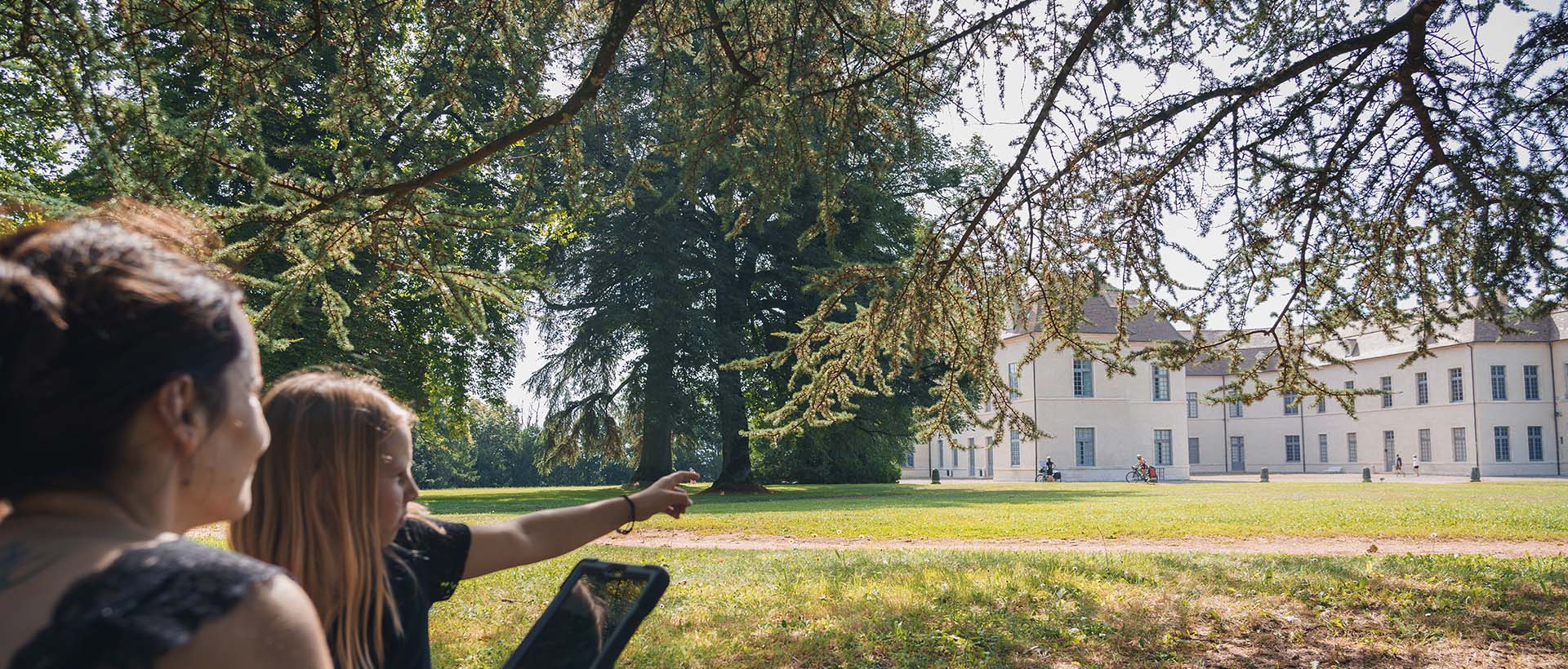
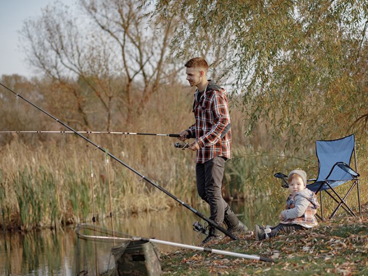
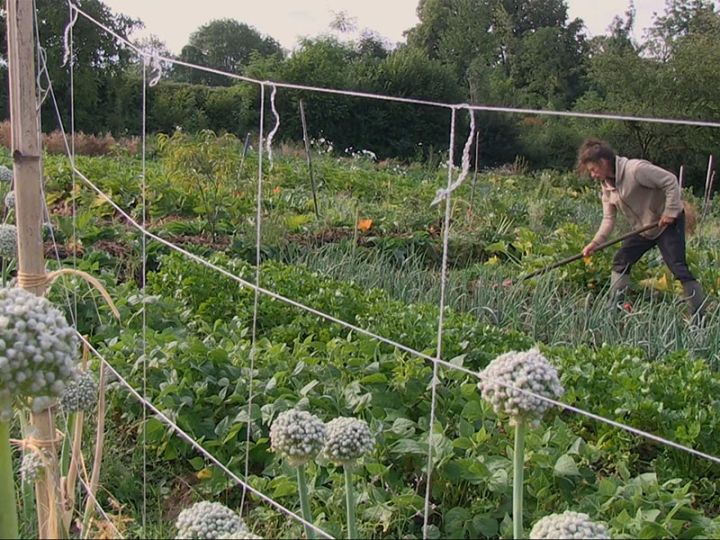
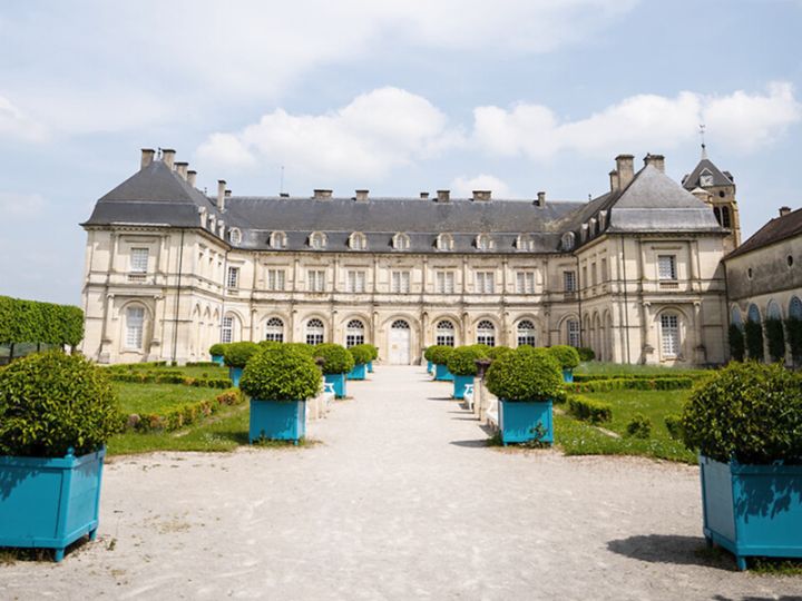
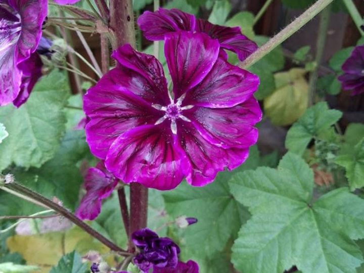
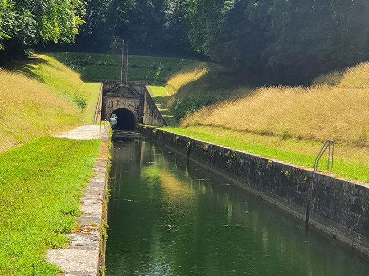
Lassen Sie sich von unseren Schätzen verzaubern: von der Eleganz der Schlösser in Ray-sur-Saône und Champlitte, der ungewöhnlichen Durchfahrt durch den Tunnel von Savoyeux oder der Ruhe der „Voie Bleue“. Ob zu Fuß, mit dem Fahrrad oder auf dem Wasser – das Gebiet der 4 Rivières bietet Ihnen eine authentische Auszeit im Herzen des Val de Saône, in der Region Bourgogne-Franche-Comté. Bereit für eine Reise ins Unerwartete?


Agenda
 -Hervé Lewandowski.jpg)


-.jpg)


.jpg)


.jpg)
.jpg)
.jpg)


Bleiben Sie informiert
Bleiben Sie über unsere neuesten Nachrichten auf dem Laufenden! Folgen Sie uns in den sozialen Netzwerken oder abonnieren Sie unseren Newsletter (auf Französisch).